Loop of the Castle
Tonadico - Castel Pietra - Villa Welsperg - Cacciatore
gian • 19/04/2020


Details
- Sport
- Hike
- Rating
- Difficulty
- Tourist
- Duration
- 02:30 hrs
- Length
- 7.4 km
- Vertigo
- No vertigo
- Min. elevation
- 740 m
- Max. elevation
- 1054 m
- Elevation gain
- 350 m
- Elevation loss
- 350 m
- Car park
- View on Gmaps
Terrain
- 70%
- 15%
- 15%
- Forest
- Grass
- Urban
Seasons
- Jan
- Feb
- Mar
- Apr
- May
- Jun
- Jul
- Aug
- Sep
- Oct
- Nov
- Dec
Signposts
Description
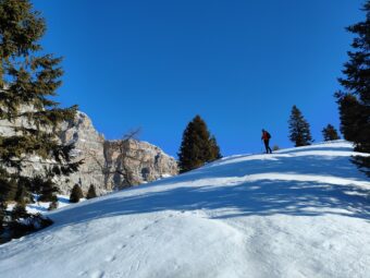
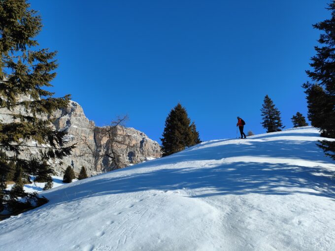
Perched and scratched by the scars of its unlucky course, the ruins of Castel Pietra have been inspiring suggestions for both locals and travelers over the centuries, including the first British pioneers who explored the Dolomites of Pale di San Martino. Due to the variety of themes it can have, ranging from history to water exploitation and consumption, this hike is strongly recommended to everyone. The route aims to connect some of the most characteristic places related to the castle and its history, in a loop that starts and ends in Tonadico, the most ancient village of the Valley of Primiero, sitting downstream of the castle.
The route starts from the car park located south of the village, on the left bank of the Canali torrent. The route begins along Via Zocchét, heading north-east along the bank of the river, on a road that turns from a paved into a stony one and leads, after crossing a stream on a wooden bridge, to the main road accessing Passo Cereda (SS347). Once on the main road, the route proceeds downhill for about 200 meters, crossing the river, and then taking – on the right, towards north east – a small road towards Madonna della Luce / Villa Welsperg. The climb, though still easily walkable, begins to become more demanding. In about ten minutes, the track reaches the shrine of the Madonna della Luce, located at the beginning of the slope leading to the castle.
From the shrine, at 850 m asl, the track continues steeply in the forest, along the old access road to the castle. During this stretch of climb, it is possible to get to the castle by following different variants; for historical reasons and to better enjoy the arrival at the ruins, we recommend to entirely follow the old road. Castel Pietra is not visible, if not in its proximity, throughout the ascent.
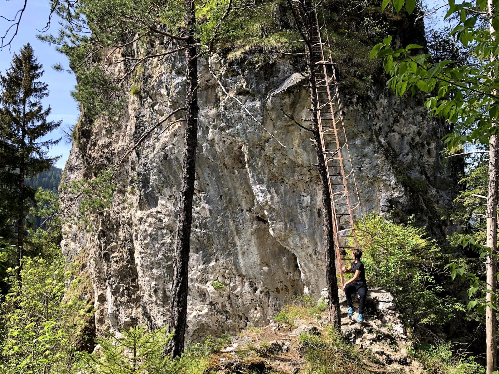
Once reached the pitch at the base of the natural wall, above which the ruins stand (1,039 m asl), the trail continues along the base of the wall towards what little is left of the northern gate of the Castle.
At the bottom of the wall, from which the access staircase starts, the route takes a path that leads to a location called Le Cesurette: a beautiful meadow with a stream located at the entrance of the Valley of Canali, at 978 m above sea level. From Cesurette, the route continues towards Villa Welsperg, always climbing in the forest towards the lake named Laghetto Welsperg. Just before arriving at the basin, instead of turning to the right, you keep in the forest, on the west side, along a path that allows you to continue the journey immersed in the silence and charm offered by the numerous isolated boulders present in the area. After about half a kilometer, the track enters the main road that leads to Villa Welsperg. By the villa, the itinerary proceeds by crossing the Canali torrent once again, on the bridge over the artificial basin of “Cacciatore”, starting the way back south.
From the hotel “Al Cacciatore”, the track continues on an old path that returns to Tonadico. The path follows a constant and undemanding stretch which runs downhill along the western side of the valley, offering some interesting views of Castel Pietra, the mountain range of Pale Alte del Palughét and the Cimonega mountain group, with the peak of Piz di Sagrón (2,479 m asl) on background.
As you approach the village of Tonadico, as the network of paths becomes thicken, it is useful to keep in mind to keep yourself on the contour line. A few hundred meters after passing the farms of Novaia, the asphalt road of Coladína is reached, which leads directly to the village, passing through the ancient church of San Vittore. Before returning to the starting point, it is interesting to conclude the route with a historical background by passing through the buildings of Palazzo Scopoli, built in the year 1000, and Lisièra.
Paths
- From the village of Tonadico, walk the street of Via Zocchét along the Canali torrent, until reaching the main road of Passo Cereda, SS347 [0h 15],
- From the bridge on the SS347, take the path towards Madonna della Luce / Villa Welsperg until reaching the shrine of Madonna della Luce [0h 30],
- From the shrine (850 m asl), keep following the path towards Villa Welsperg, heading to the castle (i.e. Castel Pietra) [1h 15],
- From the castle (1,039 m asl), continue towards Villa Welsperg, passing through the location called Cesurette (978 m asl) [1h 45],
- From Villa Welsperg (1,030 m asl), cross the Canali torrent and take the path towards Tonadico [2h 30]. ✓
Waypoints


Best choices


Suggested hikes

- Demanding
Forks at Treviso
Canali Valley,Mis Valley,Pala Group
- Duration: 03:45 hrs
- Length: 6.2 km
- Elev. gain: 350 m

- Demanding
Val de Stua
Lower Primiero,Vette Feltrine Range
- Duration: 05:30 hrs
- Length: 12.1 km
- Elev. gain: 350 m


- Demanding
- Best choice
Leslie Stephen
Canali Valley,Pala Group,Upper Primiero
- Duration: 12:00 hrs
- Length: 29.5 km
- Elev. gain: 350 m